MatterScan © 2021 All rights reserved


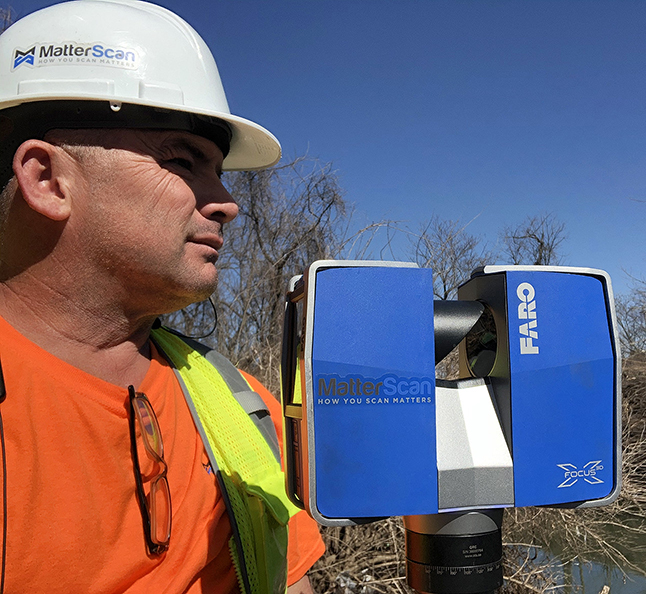
MatterScan’s 3D laser scanning services provide comprehensive existing condition site and structure documentation. We work with architects, engineers, builders, owners, and real estate professionals to provide them with the comprehensive data they need.
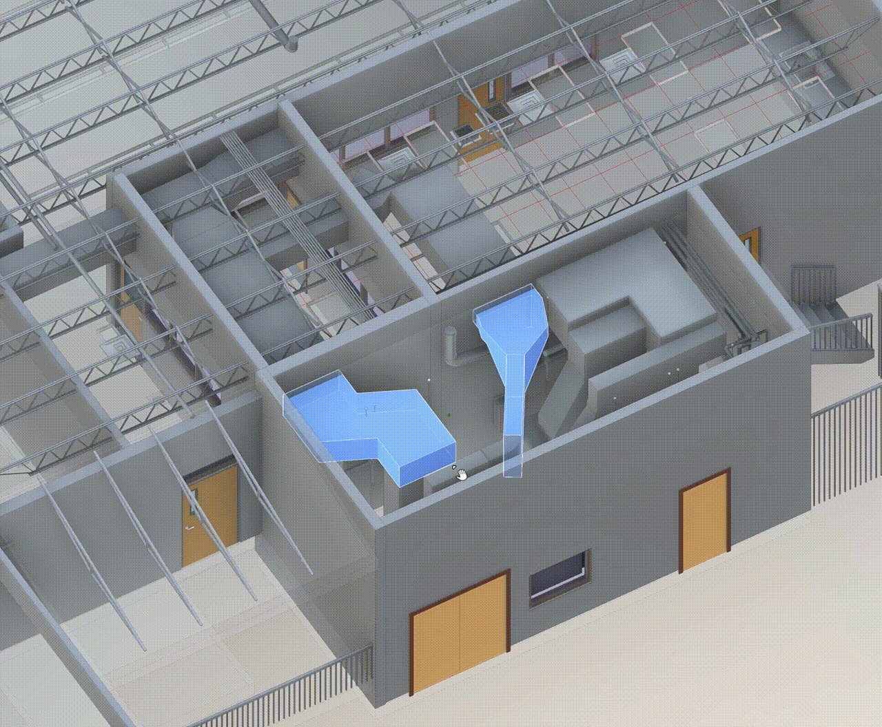
Bringing decades of engineering experience and partnerships with Autodesk, we have executed a wide range of as-built modeling projects for AEC firms, general contractors, and facility managers, encompassing architectural, structural, MEP and HVAC elements for new as well as renovation & “reverse engineered” projects.
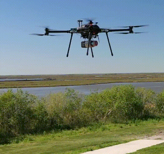
MatterScan’s FAA Commercial Certified UAV pilots can plan and conduct the flights, process the data in-house, and deliver actionable data and media to our customers.
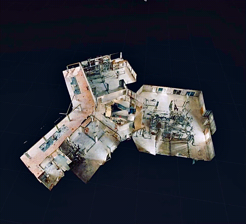
MatterScan’s immersive technology delivers an end-to-end system for creating, modifying, distributing, and navigating 3D and virtual reality (VR) versions of your projects and site locations on the web…from your desktop, mobile devices, and VR headsets.
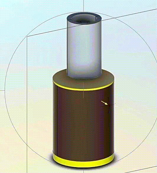
MatterScan’s patented GibbetMount™ subsurface deployment system enables us to collect underground and below grade infrastructure such as manholes and drainage data safely and proficiently, without service or system interruption.
MatterScan © 2021 All rights reserved