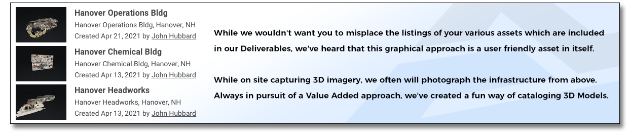
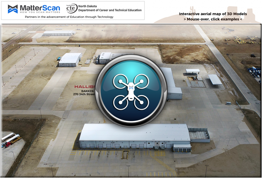
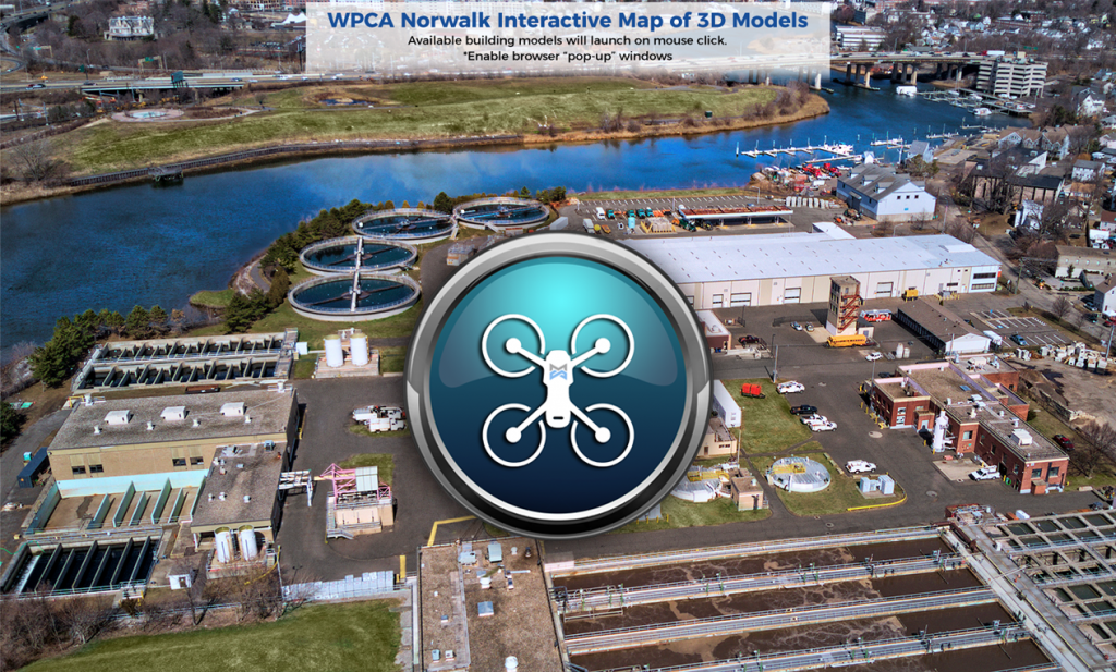
Interactive, Aerial Map of your 3D Models.
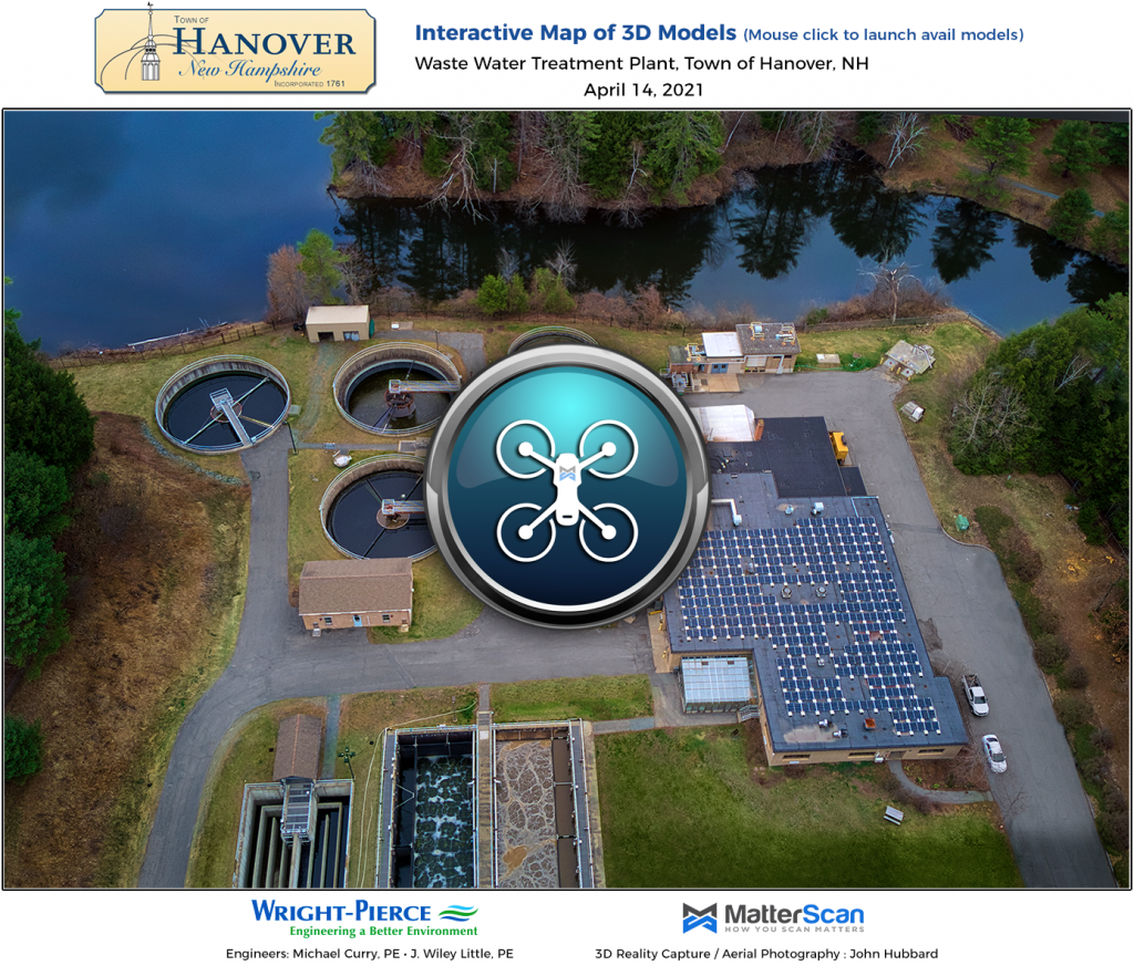
What could be more useful than a full array of 3D Models of your entire infrastructure ?
>>> A single page, Interactive, Aerial Map <<<
Mouse over the building you wish to visit and click.
Easier and certainly more fun than keeping a list of models with URLs.
“Let us know when you have the nifty interactive web page setup completed.
It’s such a nice one-stop-shop for all of your models.
Kevin will be excited when he sees the output.”
– Mike Curry, Wright-Pierce Engineering