MatterScan © 2021 All rights reserved
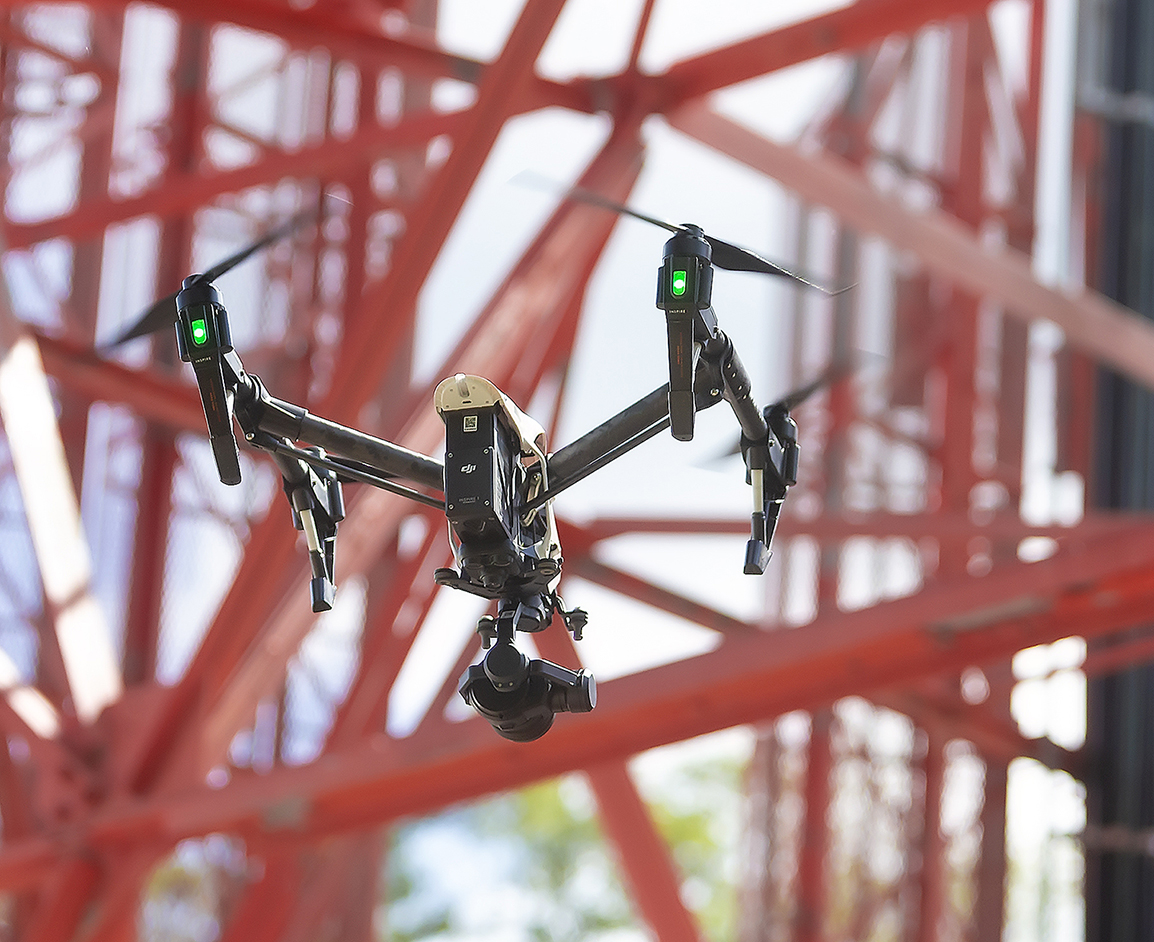
Matterscan provides a full suite of flexible aerial solutions tailored to projects of any size, in many industry disciplines. Our FAA 107 Certified Airmen have the flexibility to adopt and operate the latest airframes and sensors to ensure we have the right UAS tool to meet our client’s specific needs. Our data collection services are backed by market-leading processing and extraction technologies. These technologies allow for accurate data post-processing and calibration, effective classification and feature extraction, and deliverables in a variety of industry standard formats.
MatterScan’s drone technologies deliver the actionable project intelligence you need. You can count on MatterScan to perform safe aerial data collection for a multitude of AEC applications including:
Construction Monitoring & Inspections:
Monitor Progress – Monitor and track productivity on all your large-scale and small-scale construction projects with detailed aerial views with high quality, recorded updates.
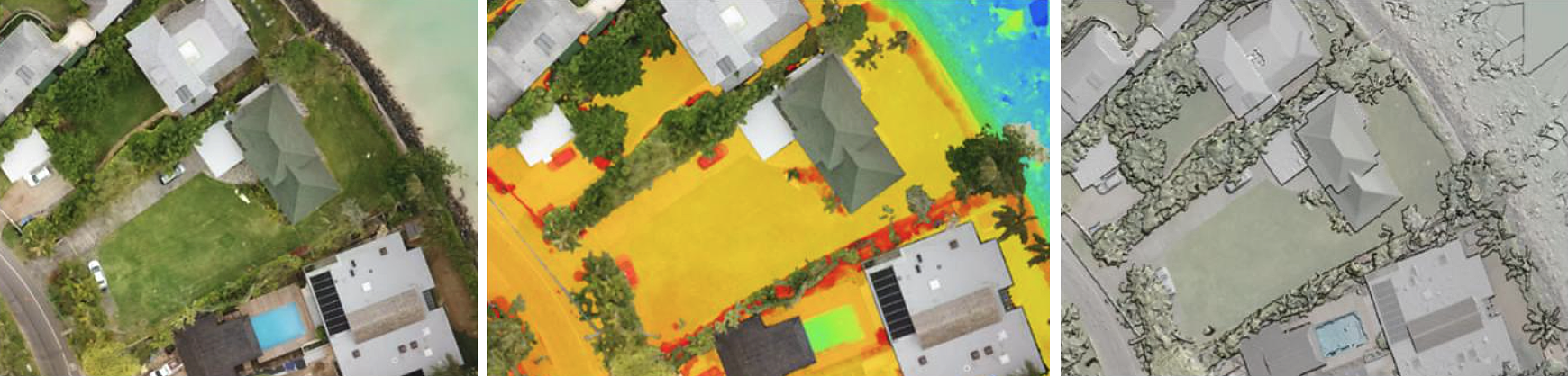
Construction Site Surveys – Collect comprehensive data for site planning and modeling. Cost-effective volume calculations and analysis. Identify challenges and opportunities presented by the terrain to assist every phase of a construction project.
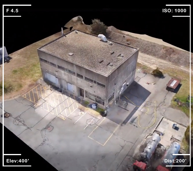
Inspections & Mapping – Inspections for buildings, bridges, roadways, railroads, roofs, cell towers, cooling towers, oil and gas infrastructure, solar and wind farms.
Time lapse – Conduct drone flights on a scheduled recurring basis to create time-lapse videos. This can assist in coordinating logistics among the many parties involved, while also providing progress updates to remote stakeholders. The time lapse video creates a much easier way to visualize the progress on construction.
Surface Modeling & Earthwork Volume Calculation:
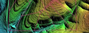
Surface modeling, earthwork and stockpile measurements are a vital part of any project, but they can be time-consuming, costly, and manually climbing up aggregates can put workers in harm’s way.
MatterScan’s teams are able to collect accurate surface data in a safe, efficient manner using our drones to collect the data and our photogrammetric software to post process the data and create 3d models. Surface models and topographic maps can be created and used for volume calculations and engineering/site design activities.
Emergency/Rapid Response:
The use of drones to map disaster areas provides greater advantages in costs and in rapid response times when compared to traditional methods. Drones can be deployed quickly, generate high-resolution and 3D mapping, identify hotspot areas that have sustained the most damage and upload the data in real time to coordinate relief efforts. Areas that are prone to large-scale disasters such as earthquakes, hurricanes and flooding benefit greatly from visual imaging and 3D mapping. Use of MatterScan’s fleet of drones empower emergency managers to evaluate serious disaster situations quickly and safely.
From flight planning to product delivery, MatterScan’s drone solutions bring the benefits of drone technology to sectors such as oil and gas, power, utilities, wind, infrastructure, construction and engineering. Our clients are turning to our drone services to save time, improve safety, and acquire data they’ve never had access to before.
MatterScan © 2021 All rights reserved